The Digital Revolution in Architectural Practice
The ancient art and rigorous science of architecture and large-scale construction have always been disciplines deeply rooted in the mastery of physical space, accurate measurement, and tangible material reality. For generations, the essential processes of site surveying, iterative design refinement, and critical post-construction inspection relied heavily on manual labor and traditional paper documentation. This reliance also involved often slow, sequential physical visits to the construction site location.
This established, manual methodology, while time-tested, often inherently limits the speed of critical decision-making and restricts the depth of collaborative engagement among diverse stakeholders. It also significantly increases the financial cost and safety risks associated with accessing complex or dangerous physical structures during the process. However, the early 21st century has unleashed a tidal wave of highly advanced digital technologies that are not merely optimizing these old processes. Instead, they are fundamentally redefining the entire workflow, from the initial conceptual sketch and precise site capture to the final, detailed building assessment.
This technological surge is empowering architects and construction professionals with unprecedented speed, accuracy, and highly immersive visualization capabilities. Among these pioneering innovations, two technologies stand out as true game-changers in the way we perceive, interact with, and ultimately create the built environment. These are Unmanned Aerial Vehicles (UAVs), commonly known as Drones, and Virtual Reality (VR) systems.
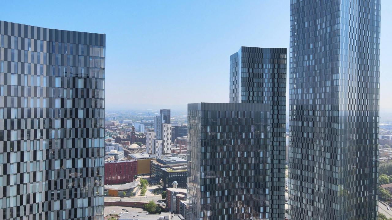
Drones have completely revolutionized the capture of high-fidelity, real-world site data. They provide comprehensive aerial perspectives, precise topographical measurements, and detailed photographic documentation that was previously prohibitively expensive, time-consuming, or entirely impossible to acquire safely. Simultaneously, Virtual Reality technology has broken down the traditional, restrictive barrier between the design team and the final spatial experience. VR allows designers, clients, and future occupants to step directly inside a building model before a single piece of foundation is poured. This facilitates a deep, intuitive understanding of scale, light, and spatial relationships that 2D drawings or static 3D renderings simply cannot match in detail.
Together, these two powerful digital tools are forging a new, integrated workflow. This new process is significantly enhancing design quality, dramatically improving project coordination, and ultimately leading to safer, faster, and more economically efficient delivery of complex architectural projects worldwide.
Drones: Redefining Site Capture and Monitoring
Drones have completely transformed the initial phase of any construction project. This phase involves the accurate, safe, and efficient collection of essential site data. They have effectively replaced outdated, slow manual surveying methods with automated, high-resolution aerial capture.
Rapid Site Mapping and Surveying
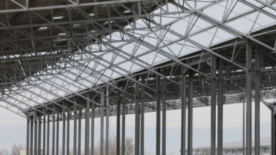
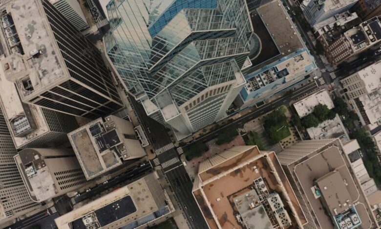
The initial steps of any architectural project require highly accurate, comprehensive mapping of the existing site conditions. Drones deliver this critical data with unparalleled speed and precision, offering significant advantages over traditional ground surveying techniques and methodologies. Drones capture thousands of overlapping high-resolution images from multiple vantage points over a complex site area. Specialized software then processes this vast photographic data to construct incredibly detailed, dimensionally accurate 3D point clouds or Digital Elevation Models (DEMs).
These precise models are often accurate down to millimeter-level detail. They form the foundational, geometric basis of the project’s Digital Twin. This crucial digital replica is used for intensive planning, detailed design integration, and continuous project monitoring throughout the entire construction lifecycle. Drones can quickly and safely survey sites that are inaccessible, inherently dangerous, or topographically challenging. This includes steep slopes, contaminated areas, or damaged historic structures, drastically mitigating risks to human personnel on the ground.
Progress Monitoring and Documentation
Once the physical construction begins, drones shift roles to become essential, continuous monitoring and documentation tools. They provide an objective, verifiable, and time-stamped record of the project’s progress and execution. Regular drone flights capture time-stamped images and 3D data of the active construction site. This data is then accurately overlaid onto the original design model, typically a BIM (Building Information Modeling) model, to instantly identify any deviations, potential errors, or delays in real-time execution.
AI algorithms analyze the captured drone data against the BIM model to perform Automated Variance Detection. This process automatically highlights specific areas where installed components or current site conditions do not precisely match the approved digital design, allowing project managers to intervene immediately. The high-quality aerial imagery and detailed 3D flyovers captured by the drone provide clear, compelling visual documentation for project reports and critical stakeholder updates. This dramatically enhances transparency and facilitates faster, informed decision-making among clients and investors.
Inspection and Quality Assurance
Drones are increasingly indispensable for critical inspection tasks, offering close-up, high-magnification views of difficult-to-reach areas of the building structure. They perform this work safely without the need for dangerous, time-consuming scaffolding or expensive heavy equipment rentals. Drones equipped with high-zoom cameras and thermal imaging technology can quickly inspect massive building facades, complex roofing systems, and glazing for defects, thermal leaks, or moisture ingress. This thorough inspection is achieved safely from the ground level.
Thermal cameras carried by drones reveal subtle heat signatures, instantly pinpointing poorly insulated areas, failing HVAC units, or potential fire risks within the structure’s envelope. This ensures high operational efficiency and helps reduce long-term energy costs for the asset owner. For older structures or infrastructure like bridges, drones can capture detailed visuals of cracks, corrosion, or degradation on load-bearing elements. This provides engineers with essential, accurate data for targeted maintenance planning and structural safety assessment.
Virtual Reality: Immersive Design Review
Virtual Reality technology successfully transports the user directly into the architectural model. This shifts the crucial design review process from working with abstract 2D plans into a fully intuitive, three-dimensional, and highly visceral spatial experience. This fundamental shift radically alters how essential design decisions are made and effectively communicated to all parties.
Immersive Spatial Understanding
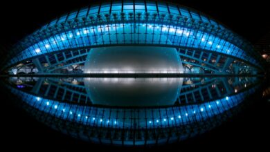
The defining value of VR lies in its unparalleled ability to accurately convey scale, the quality of light, and the emotional feeling of a space. This is something that traditional drawings or flat renderings fundamentally fail to achieve accurately or intuitively. Clients and designers can simply put on a VR headset and immediately experience the true, physical scale of rooms, hallways, and open spaces. This early spatial confirmation prevents costly, late-stage realization that a design feels too cramped or conversely, overly vast once the construction is already underway.
VR software accurately simulates the movement of the sun and the resulting interplay of light and shadow throughout the day and year within the model environment. This sophisticated simulation allows architects to precisely optimize window placements, shading devices, and material reflectivity based on real simulated performance data. Designers can utilize VR to test the practical usability, human flow, and efficiency of the planned space. They can walk through kitchen layouts, test sightlines from an office desk, or assess emergency egress pathways, ensuring the design is truly functional and safely compliant for human occupation.
Collaborative Design Review
VR fosters a deeply collaborative and integrated design environment for all participants. It successfully breaks down communication barriers between highly specialized professional groups and non-technical stakeholders like clients and investors. Multiple participants, who may be geographically dispersed across the globe, can join the same virtual model simultaneously as personalized virtual avatars. This functionality allows for real-time discussion, instantaneous feedback, and collective identification of potential design flaws and issues.
Presenting a design in a fully immersive VR environment dramatically enhances client understanding and their emotional engagement with the project concept. This deep clarity speeds up the crucial design approval process and significantly reduces the pervasive risk of expensive, late-stage client-driven changes. Engineers, including MEP and structural specialists, and architects can conduct highly efficient coordination meetings directly inside the VR model. They can visually inspect the placement of ducts, pipes, and beams together, making it easier and much faster to spot and resolve non-geometric clashes than relying solely on static BIM clash reports.
Designing for Construction and Maintenance
VR technology extends its significant value beyond the initial aesthetic design review phase. It provides crucial practical support for the subsequent construction and the long-term facility management phases of the project lifecycle. Site managers and trade foremen can walk through the virtual model of the installation sequence before setting foot on the physical site. This allows them to precisely visualize complex assemblies, identify potential access issues for equipment, and meticulously pre-plan critical site logistics, saving valuable time.
Facility managers can use the VR model, which has now become a sophisticated Digital Twin, for training maintenance staff. New staff can practice complex maintenance procedures, locate hidden access panels, and visualize specific repair steps on a virtual replica before ever working on the live, physical building system. VR allows for rapid, visually accurate swapping of different material textures, colors, and finishes within the model environment. This powerful capability enables the design team and client to instantly assess aesthetic alternatives without incurring the expense and delay of creating physical mock-ups or material samples.
Integration: A Seamless Digital Workflow
The real, immense power of both drones and VR is fully realized only when they are not used as isolated, standalone tools. Instead, they must be seamlessly integrated into a continuous, cohesive digital workflow, feeding critical data into the central BIM model at every stage.
Drone Data into BIM
The precise, highly accurate data captured by drones must be directly imported and perfectly aligned with the architectural design model (BIM). This creates a single, unified, and reliable project environment for all stakeholders to use. Drone-generated 3D point clouds, which represent the “as-is” condition of the site, are imported directly into professional BIM software. This crucial step ensures that the proposed “to-be” design is perfectly aligned with the existing topography, the site boundaries, and any adjacent physical structures.
By comparing the drone data with the BIM data over time, architects and project managers can generate dynamic visual heatmaps directly in the BIM environment. These maps instantly and visually highlight exactly where the physical construction deviates from the planned digital model, focusing immediate attention on critical errors. Throughout the construction process, the drone continually updates the Digital Twin with the latest “as-built” information and conditions. This effort ensures that the final model handed over to the building owner for operations and facility management is an accurate, reliable representation of the finished physical structure in its final state.
BIM to VR for Collaboration
BIM models are rich with precise geometric and comprehensive informational data. They are the essential feedstock for creating the highly detailed, immersive VR environment that is used for crucial decision-making and project review. VR interfaces can be expertly programmed to display the comprehensive BIM data in real-time while the user is inside the immersive environment. Users can simply point at a wall in VR and instantly see its material specifications, fire rating, embodied carbon data, or associated cost information pop up on their display.
VR thus acts as an intuitive, easy-to-use user interface for reviewing the complex, multi-layered information contained within the detailed BIM model. This democratizes access to important project data, allowing non-technical stakeholders to easily interact with detailed technical specifications and data sets. The feedback generated during a VR review session is instantaneous, visually clear, and highly specific to the design elements. Architects can take these clear, actionable instructions directly back to the BIM model for rapid modification, and then quickly push the updated model back to VR for immediate, high-fidelity verification and sign-off.
Training and Education in a New Reality
The ease of access and safety offered by these technologies are dramatically changing how the next generation of architects, engineers, and construction workers are educated and professionally trained. This process is actively creating a highly skilled, technologically proficient workforce ready for the future. Architectural students can now use VR to safely and economically visit iconic structures around the world or tour hazardous, remote industrial sites. This allows them to gain invaluable, realistic experience without ever leaving the physical classroom environment.
Construction workers can be thoroughly trained in virtual reality environments to practice complex, high-risk assembly tasks. These tasks include operating heavy machinery or installing structural elements, eliminating the risk of physical injury and costly material damage in the physical world. Experienced inspectors or specialized engineers can use AR (Augmented Reality) devices to overlay critical design information onto the real-world view of a construction site. This provides expert guidance and verification to on-site teams remotely, saving travel time and ensuring accuracy.
Challenges and Future Potential
While the benefits offered by these technologies are undeniably transformative, the widespread adoption of both drones and VR also introduces new challenges. These challenges relate to regulatory compliance, complex data management, and the necessary significant financial investment in advanced hardware and specialized software solutions.
Regulatory and Data Hurdles
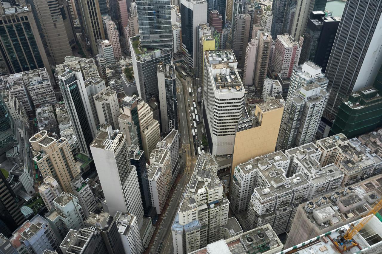
Integrating drone technology, particularly for continuous monitoring in dense urban areas, requires navigating complex and often restrictive airspace regulations imposed by authorities. Simultaneously, delivering high-fidelity VR demands massive amounts of graphics processing power and high-speed data transfer. Operating drones near airports, public events, or private property requires strict adherence to local and national aviation authority regulations. This often necessitates specialized licensing and formal flight planning permissions, adding a layer of bureaucratic complexity to the site monitoring process.
Drone photogrammetry and VR models generate immense datasets that can range from Gigabytes to Terabytes of point cloud data per flight or scan. Projects require robust cloud computing infrastructure, fast, high-bandwidth data transfer speeds, and significant digital storage capacity to effectively handle this constant influx of spatial information. For true, seamless integration, the data formats used by drone software, BIM software, and VR platforms must be highly standardized and fully interoperable across different vendors. The construction industry is still actively developing universal protocols to eliminate data conversion friction between these distinct technological systems.
Financial and Cultural Adoption Barriers
The initial investment required for high-end drones, specialized VR hardware, and the necessary extensive staff training can be a significant barrier to entry. This is especially true for smaller architectural firms or local construction companies operating with limited capital. The cost of purchasing and maintaining enterprise-grade drones, often equipped with Lidar and thermal sensors, and powerful VR-ready workstations, coupled with the expense of high-end VR headsets, requires a substantial upfront capital investment.
Architects must fundamentally move from traditional drafting and simple 3D modeling skills to mastering data science principles, complex point cloud manipulation, and computational design methodologies. This radical shift necessitates significant, ongoing professional development and the strategic hiring of new, technically specialized expertise. Some conservative clients or project managers still view VR as an unnecessary marketing “gimmick” rather than a true, indispensable project coordination tool. Architects must actively and effectively demonstrate the tangible ROI (Return on Investment) in clash reduction, time savings, and quality improvement to successfully overcome this cultural resistance.
The Architect’s Evolving Role
In this new digital reality of construction, the architect is rapidly evolving from a traditional spatial designer into a crucial data custodian and the master conductor of the digital project delivery ecosystem. Their fundamental value proposition to the client is shifting dramatically. The architect retains final design authority, but that critical authority is now deeply informed and continually verified by objective data acquired from drones and validated through immersive VR testing. The design process becomes less subjective and much more evidence-based and data-driven.
The architect is uniquely positioned to manage the intricate flow of information across the entire asset lifecycle, from initial drone-based survey data to the final VR-enabled Digital Twin handover to the facility manager. They serve as the essential, unified digital bridge connecting all project phases. Amidst all the complex data and powerful technology, the architect remains the primary, unwavering advocate for the human experience. They ensure that the power of VR is used not just to check pipe clearance but to guarantee the final building is aesthetically pleasing, comfortable, and ultimately supportive of the people who will live and work within it.
Conclusion: A New Era of Architectural Delivery
Drones and Virtual Reality are truly indispensable tools that are fundamentally revolutionizing the architectural and construction industries globally. Drones provide unparalleled speed and precision in site data acquisition, replacing slow manual surveying with accurate, high-resolution aerial photogrammetry. This crucial data generates the foundational model for the essential Digital Twin. This continuous aerial monitoring enhances safety and quality control on site, enabling automated variance detection against the BIM model throughout the entire construction timeline.
Virtual Reality, meanwhile, transforms the design review process from abstract two-dimensional analysis into a deeply intuitive, three-dimensional, and collaborative immersive experience for all participants. VR allows clients and design teams to step directly inside the proposed space, facilitating an immediate, true-scale understanding of light, shadow, and ergonomics. This significantly accelerates project approvals and minimizes costly late-stage revisions that typically cause delays.
The true, immense power of these technologies is unlocked when they are seamlessly integrated, with drone-captured data feeding the precise BIM model and the BIM model then powering the immersive VR environment for all decision-making and coordination meetings. This unified, integrated workflow increases overall project efficiency, reduces safety risks, and provides unprecedented transparency and predictability to the entire complex process of designing and constructing the modern built environment.